Tianyi Sensor IOT Technology Co., Ltd
Sales Manager:Ms. Emily Wang
Cel,Whatsapp,Wechat:+86 15898932201
Email:info@fengtutec.com
Add:No. 155 Optoelectronic Industry Accelerator, Gaoxin District, Weifang, Shandong, China


Sales Manager:Ms. Emily Wang
Cel,Whatsapp,Wechat:+86 15898932201
Email:info@fengtutec.com
Add:No. 155 Optoelectronic Industry Accelerator, Gaoxin District, Weifang, Shandong, China
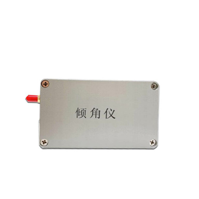
Model:FT-QJ1
Brand:tianyi
1.Introduction to Wireless Tilt Sensor Products
Wireless Tilt Sensor uses accelerometers to monitor and measure geological inclination, which is used to measure the tilt and tilt angle generated by geological hazards.Our company designed and developed an inclination meter based on the principles of high precision, low power consumption, stability and reliability.It can combine intelligent gateways, alarm equipment and IoT platforms to form a closed-loop system of geological disaster potential points, self-monitoring, self-analysis, and self-alarming.It is suitable for monitoring fields such as geological disasters, geotechnical engineering, construction engineering, transportation, water conservancy, and municipality, and is used for real-time monitoring of high-frequency structure vibrations and micro-tilt changes in geological disasters.
2.Product features of Wireless Tilt Sensor
(1) High integration: Integrates the MEMS acceleration module to realize the three-axis acceleration and three-axis inclination observation functions, and at the same time collects the ambient temperature for temperature compensation;
(2) Multi-communication: Converge 2/4G full-network public network communication, supports NB-IoT narrowband Internet of Things communication, supports LoRa local self-organized network communication, realizes local networking of monitoring equipment, early warning information area release, remote transmission of monitoring data, and remote control of equipment;
(3) Low power consumption: Adhering to the concept of high integration and low power consumption design, it realizes integrated integrated design of sensing, acquisition and communication, and the standby performance meets the long-term use needs in the field.It has convenient installation characteristics, and is especially suitable for emergency monitoring and deployment;
(4) High precision: adopt on-site redundant observation, based on the prior error and actual measurement error, embedded edge calculation, data filtering and data cleaning algorithms, realize coarse error removal and abnormal detection, ensure the reliability of monitoring data, and meet the requirements of relevant technical standards;
3.Technical parameters of Wireless Tilt Sensor
| Sensor performance | inclination | Range | ±90° |
| Accuracy | Accuracy: ±0.001/±0.005/±0.01 optional | ||
| Acceleration | Range | ±3g | |
| Accuracy | 0.5mg | ||
| Working conditions | Operating voltage | 3.7V~4.2V | |
| Rated power consumption | <120 mA/3.7V | ||
| Operating temperature | -40℃~85℃ | ||
| Working humidity | 95% RH non-condensing | ||
| Communication performance | Communication Network | 2~4GPRS/NB-IOT/LORA | |
| Collection interval | 1~50Hz high frequency or 0~7200s low frequency setting as required | ||
| Upload strategy | Timed upload + event trigger upload | ||
| Interactive control | support | ||
A Portable Weather Station is a highly integrated automatic field meteorological data collection and transmission device. Essentially, it is a fully functional mobile observation platform capable of rapidly establishing temporary meteorological observation points in areas not covered by conventional...
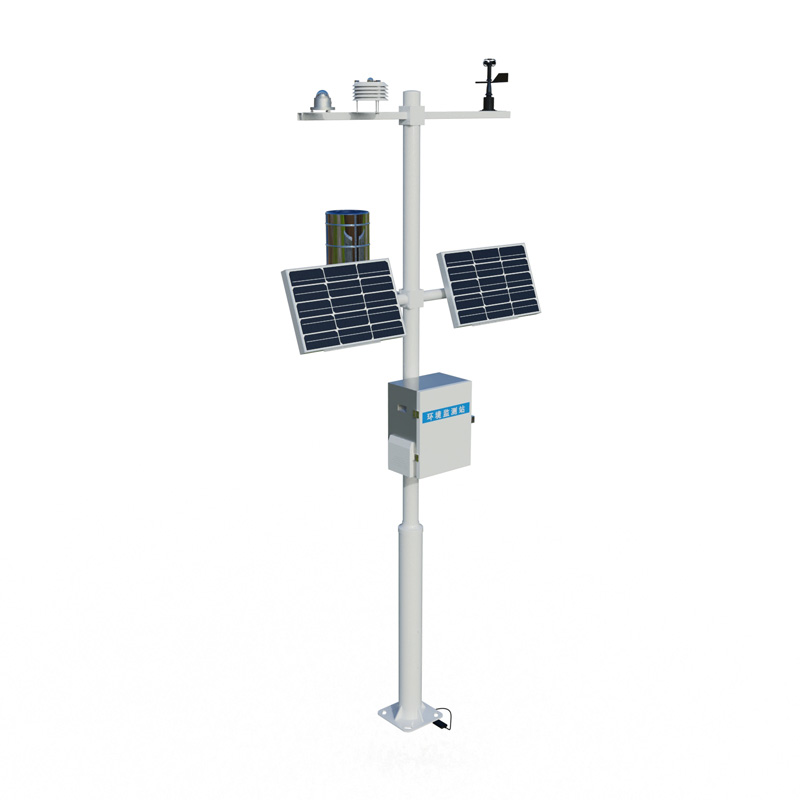
Meteorological monitoring equipment includes six-parameter automatic weather stations, precipitation sensors, radiation observation stations, and unmanned aerial vehicle (UAV) systems, used to monitor meteorological elements such as temperature, humidity, wind speed and direction, rainfall, at...
A soil moisture monitoring system is a comprehensive station that conducts real-time monitoring of soil moisture and related environmental parameters. Equipped with high-precision sensors, it adopts technologies such as Frequency Domain Reflectometry (FDR) and Time Domain Reflectometry (TDR) to accu...
As a key device in modern meteorological monitoring, one of the primary advantages of the wireless Small Automatic Weather Station is its adoption of wireless data transmission technology.1. Freedom from Wired Infrastructure LimitationsTraditional wired weather stations are constrained by cabling, b...


 Get a Free Quote
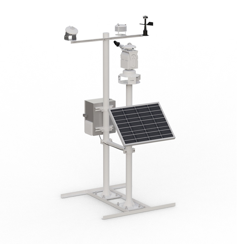
 Skype
Skype
 whatsapp
 mail
mail