Tianyi Sensor IOT Technology Co., Ltd
Sales Manager:Ms. Emily Wang
Cel,Whatsapp,Wechat:+86 15898932201
Email:info@fengtutec.com
Add:No. 155 Optoelectronic Industry Accelerator, Gaoxin District, Weifang, Shandong, China


Sales Manager:Ms. Emily Wang
Cel,Whatsapp,Wechat:+86 15898932201
Email:info@fengtutec.com
Add:No. 155 Optoelectronic Industry Accelerator, Gaoxin District, Weifang, Shandong, China
time:2025-07-07 08:41:19 source:Weather Station viewed:409 time
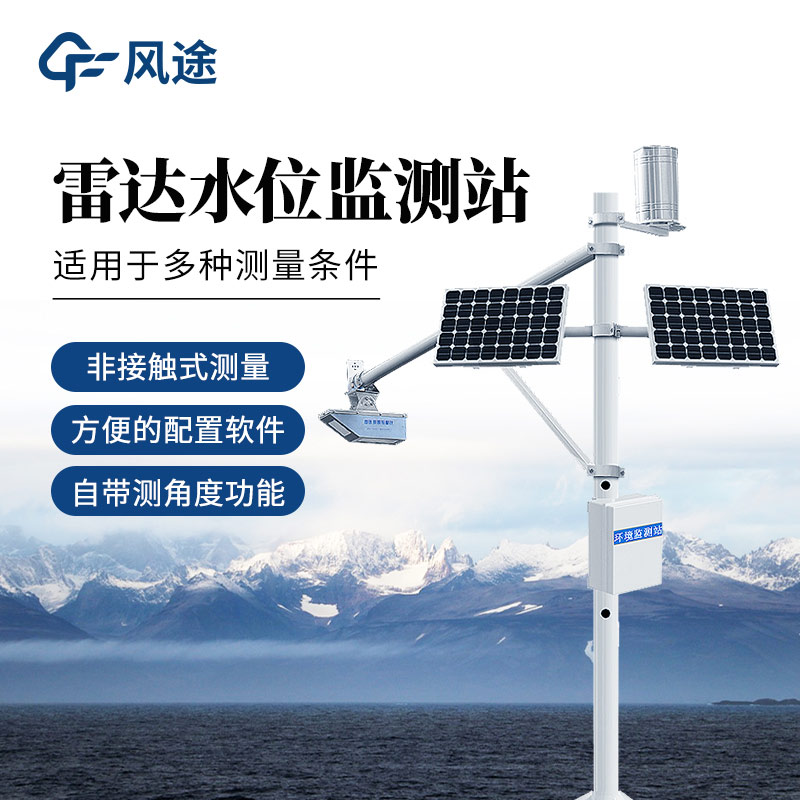
River Level Monitoring Station is one of the tools in the modern flood control and disaster reduction system. It realizes real-time control of watershed hydrological information through multi-dimensional data collection and intelligent analysis. The system is composed of four major modules: water level monitoring, rainfall monitoring, data transmission, and intelligent early warning, providing data support for flood control decisions through automated equipment and network technologies.
The water level monitoring module uses radar water level gauges to accurately measure changes in river water levels. The equipment is installed at river sections and obtains water level data with millimeter-level accuracy through non-contact or contact measurement. The rainfall monitoring part relies on tipping bucket rain gauges and piezoelectric rainfall sensors to achieve continuous monitoring of rainfall, capable of real-time recording of every 0.1-millimeter rainfall change. Both monitoring devices operate 24 hours a day to ensure no time gaps in hydrological data collection.
Monitoring devices transmit the collected water level and rainfall data to the data center in real time through transmission methods such as 4G/5G networks. The data center establishes a hydrological database to store and analyze historical and real-time data, generating visual charts such as water level change curves and rainfall intensity distribution maps. Staff can view real-time data and historical records of each monitoring point at any time through computer terminals or mobile apps, realizing remote dynamic monitoring of watershed hydrological conditions.
The system combines historical data with real-time monitoring information to dynamically predict the trend of water level rise. When the monitored data reaches the preset warning threshold, the system immediately activates a graded early warning mechanism, releasing early warning information to relevant departments and threatened areas through multiple channels such as text messages, voice broadcasts, and LED display screens.
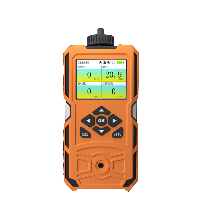
A handheld weather meter is a portable, hand-operated meteorological monitoring device capable of real-time measuring and recording multiple meteorological parameters. These devices integrate various high-precision sensors, suitable for field research, emergency monitoring, mobile observation, and o...
As meteorological monitoring needs become increasingly diverse, traditional meteorological equipment faces challenges in installation convenience, data comprehensiveness, and environmental adaptability. Conventional miniature weather instruments often suffer from measurement errors caused by sensor...
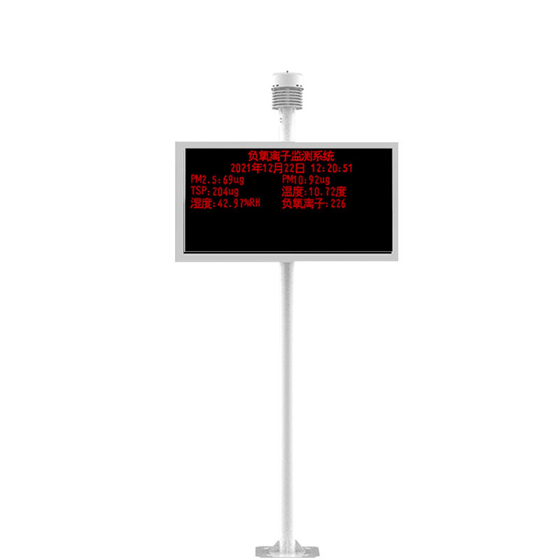
Please note that this is a basic meteorological instrument capable of monitoring only wind speed, wind direction, air temperature and humidity, and air pressure.When equipped with sensors for dust concentration, harmful gases (such as sulfur dioxide, nitrogen oxides), PM2.5, PM10, etc., it becomes a...
Traditional flow measurement involves trekking through mountains and rivers, enduring sun and rain, while modern technology can achieve fully automatic monitoring with just one device.River flow measurement is a crucial part of water conservancy work, directly related to flood control, drought relie...


 Skype
Skype
 whatsapp
 mail
mail