Tianyi Sensor IOT Technology Co., Ltd
Sales Manager:Ms. Emily Wang
Cel,Whatsapp,Wechat:+86 15898932201
Email:info@fengtutec.com
Add:No. 155 Optoelectronic Industry Accelerator, Gaoxin District, Weifang, Shandong, China


Sales Manager:Ms. Emily Wang
Cel,Whatsapp,Wechat:+86 15898932201
Email:info@fengtutec.com
Add:No. 155 Optoelectronic Industry Accelerator, Gaoxin District, Weifang, Shandong, China
time:2025-07-15 09:01:55 source:Weather Station viewed:539 time
Debris flow is a common sudden geological disaster in mountainous areas. Triggered by heavy rains and melting snow and ice, it carries a large amount of solid materials such as sediment and rocks, flowing rapidly with strong impact force and a wide range of destruction. It often causes severe damage to roads, bridges, villages, etc., and threatens people's lives and property safety.
In the current context of frequent geological disasters, it is essential to build an efficient and accurate mountain debris flow monitoring network. Tianyi's integrated mud and water level monitoring station FT-SW2 and other series of instruments, together with GNSS monitoring stations, integrated rainfall monitoring stations, integrated seepage pressure monitoring stations, integrated soil moisture monitoring stations and video surveillance monitoring stations, jointly form a mountain debris flow monitoring network.
The integrated mud and water level monitoring station FT-SW2 integrates mud level and water level monitoring functions. It adopts non-contact measurement technology and calculates flow based on cross-section parameters. It is not affected by wind, temperature, haze, sediment, floating objects and other factors, enabling accurate measurement and real-time data feedback, thus providing a basis for grasping the mud conditions in water areas. It uses K-band planar radar technology to measure the water level of water bodies in a non-contact manner and outputs real-time data through built-in software algorithms. The product features low power consumption, small size, high reliability and easy maintenance. The measurement process is not affected by temperature, sediment, river pollutants, water surface floating objects and other factors, making it suitable for non-contact flow measurement in rivers, irrigation canals, underground drainage pipe networks, flood control early warning and other occasions.
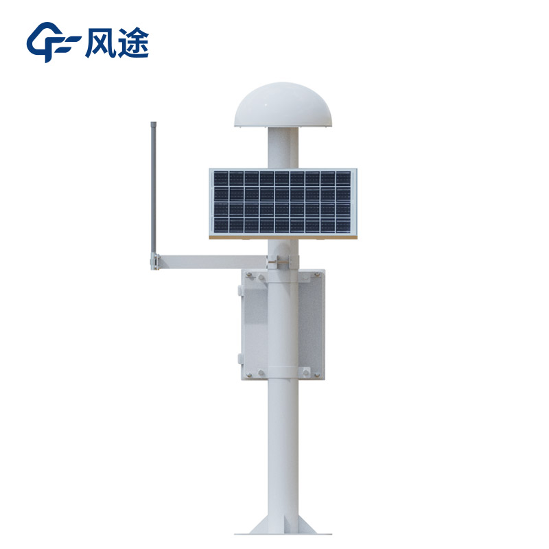
The GNSS monitoring station is packaged with an integrated mold, integrating the GNSS antenna with the host, which facilitates installation and debugging and simplifies the installation process. The whole machine adopts a low-power design with low heat generation and strong stability. It provides millimeter-level carrier phase observations, is equipped with built-in GNSS/4G/WIFI antennas and an integrated communication interface, and is suitable for long-term continuous operation in harsh environments, enabling real-time monitoring of mountain displacement changes.
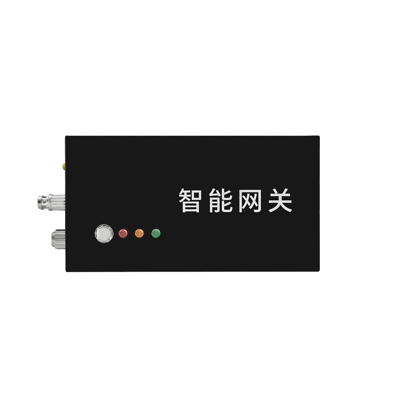
The integrated rainfall monitoring station has the functions of intelligent collection of rainfall data, long-term solid-state storage and long-distance transmission, and can collect data in linkage with other monitoring equipment. In the geological disaster monitoring and early warning linkage system, if the rainfall exceeds the preset warning value, it will send wake-up and encrypted collection commands to other types of monitoring stations through the linkage command machine, mobilizing all equipment to monitor the disaster body.
Integrated pore water seepage pressure monitoring stations such as FT-SL1 can monitor the pore water pressure in the soil in real time to ensure the safety of hydraulic structures. Equipped with pore water pressure sensors, temperature sensors, etc., the data acquisition module initially processes the sensor data and then transmits it to the central processing system through wired or wireless networks. The safety status of the project is comprehensively evaluated through real-time data processing, statistical analysis, trend analysis and other methods.
The integrated soil moisture monitoring station can grasp the changes in soil moisture content in real time, providing data support for analyzing the soil conditions for debris flow formation. The video surveillance monitoring station intuitively presents on-site pictures to assist in the comprehensive judgment of other monitoring data.
These instruments have their own specialties in mountain debris flow monitoring while cooperating closely, achieving comprehensive monitoring from multiple dimensions such as mountain displacement, rainfall changes, soil moisture, and pore water pressure. The tight monitoring network they jointly form provides a reliable data source for early disaster warning.
Vehicle weather sensor integrates temperature, humidity, wind speed, wind direction, atmospheric pressure, and piezoelectric rainfall monitoring functions. It is a portable observation device designed for mobile platforms, capable of acquiring real-time meteorological data around the vehicle a...
In underground coal mine operations, ensuring the safety of personnel and the smooth progress of work is of great significance. The industrial product, the Toxic gas detector, as a safety detection device, shoulders the important responsibility of safeguarding the safety of the mine. It can accurate...
Underwater sonar imaging sounder is a portable underwater detection device integrating sonar technology and video recording. It generates high-resolution underwater topographic images, 3D models, and target location information by emitting sound waves into the water and receiving the echoes. It is suitable for single-person outdoor operations such as underwater search and rescue, topographic mapping, and engineering surveys....
Measuring river water levels is necessary for flood control and disaster reduction. Through real-time monitoring of river water levels, we can timely grasp the changes in water levels, issue warnings before floods arrive, strive for time for personnel evacuation and property transfer, and minimize t...


 Skype
Skype
 whatsapp
 mail
mail