Tianyi Sensor IOT Technology Co., Ltd
Sales Manager:Ms. Emily Wang
Cel,Whatsapp,Wechat:+86 15898932201
Email:info@fengtutec.com
Add:No. 155 Optoelectronic Industry Accelerator, Gaoxin District, Weifang, Shandong, China


Sales Manager:Ms. Emily Wang
Cel,Whatsapp,Wechat:+86 15898932201
Email:info@fengtutec.com
Add:No. 155 Optoelectronic Industry Accelerator, Gaoxin District, Weifang, Shandong, China
time:2025-10-31 09:05:24 source:Weather Station viewed:437 time
Traditional flow measurement involves trekking through mountains and rivers, enduring sun and rain, while modern technology can achieve fully automatic monitoring with just one device.
River flow measurement is a crucial part of water conservancy work, directly related to flood control, drought relief, water resource management, and the scientific nature of water conservancy planning. Traditional methods such as current meter method and float method require technical personnel to measure in wading sites or deploy floats, which not only involve high work intensity but also cannot be implemented during flood periods, endangering personnel safety.
Moreover, these methods are often affected by factors such as river pollutants, water surface floating objects, and temperature, leading to inaccurate data.
The FT-SW3 Radar River Level Monitoring Station is a fully automatic hydrological online monitoring system based on microwave technology, which completely changes the traditional flow measurement method.
It adopts advanced K-band planar radar technology to measure water flow velocity and water level in a non-contact manner.
This technology makes the measurement process unaffected by temperature, sediment, river pollutants, water surface floating objects and other factors, solving the pain points of traditional measurement methods.
The device can simultaneously measure water level, flow velocity, flow rate and rainfall in the channel, achieving one-stop comprehensive hydrological monitoring.
The biggest advantage of FT-SW3 lies in its non-contact measurement capability, combined with cross-section parameters to calculate flow, unaffected by wind, temperature, fog, sediment, floating objects, etc.
Compared with ultrasonic methods, radar technology is not affected by changes in atmospheric water vapor, temperature and pressure, greatly improving data stability and reliability.
Flow velocity and water level use planar array radar antennas with built-in angle measurement function, the device is compact and easy to install.
The device also comes with convenient configuration software, allowing users to easily configure parameters according to actual needs to adapt to different usage conditions.
It can be used for measuring flow velocity, water level, flow rate and rainfall in rivers, lakes, tides, reservoir gates, underground water pipe networks, irrigation canals and other scenarios.
It can strengthen extreme weather monitoring and forecasting, realize "machine replacement for humans" in monitoring, and transform flood prevention work from passive to active.
It can also assist in water treatment operations, such as urban water supply, sewage monitoring, as well as flow calculation, inflow and drainage flow monitoring, etc.
Technical parameters:The ranging range is 0.1-40 meters, the ranging accuracy is ±5mm, and the resolution is 1mm.The flow velocity measurement range is 0.15-15m/s, the speed measurement accuracy is ±2%, and the speed resolution is 0.01m/s.Flow measurement is based on the algorithm of average flow velocity × flow cross-sectional area × correction coefficient, calculating accurate data through scientific models.The device adopts a combination of solar panels and batteries for power supply, suitable for long-term work in field environments without power supply.
With technological development, this fully automatic hydrological online monitoring system is becoming the standard for water resource management.It can obtain accurately measured data, which will provide more scientific decision-making basis for flood control, drought relief and water resource management.
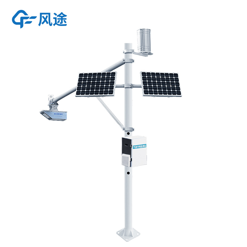
A Portable Weather Station is a highly integrated automatic field meteorological data collection and transmission device. Essentially, it is a fully functional mobile observation platform capable of rapidly establishing temporary meteorological observation points in areas not covered by conventional...
The traditional meteorological monitoring stations have limited distribution, making it difficult to comprehensively and real-timely grasp the complex and changeable meteorological conditions. However, combining drones with meteorological instruments has unexpectedly become a solution to make up for...
The core of the Odor Online Monitor lies in simulating human olfactory perception, enabling simultaneous monitoring of multiple malodorous pollutants. It is particularly suitable for 24/7 continuous monitoring in environments such as landfill sites, chemical industrial parks, and wastewater treatmen...
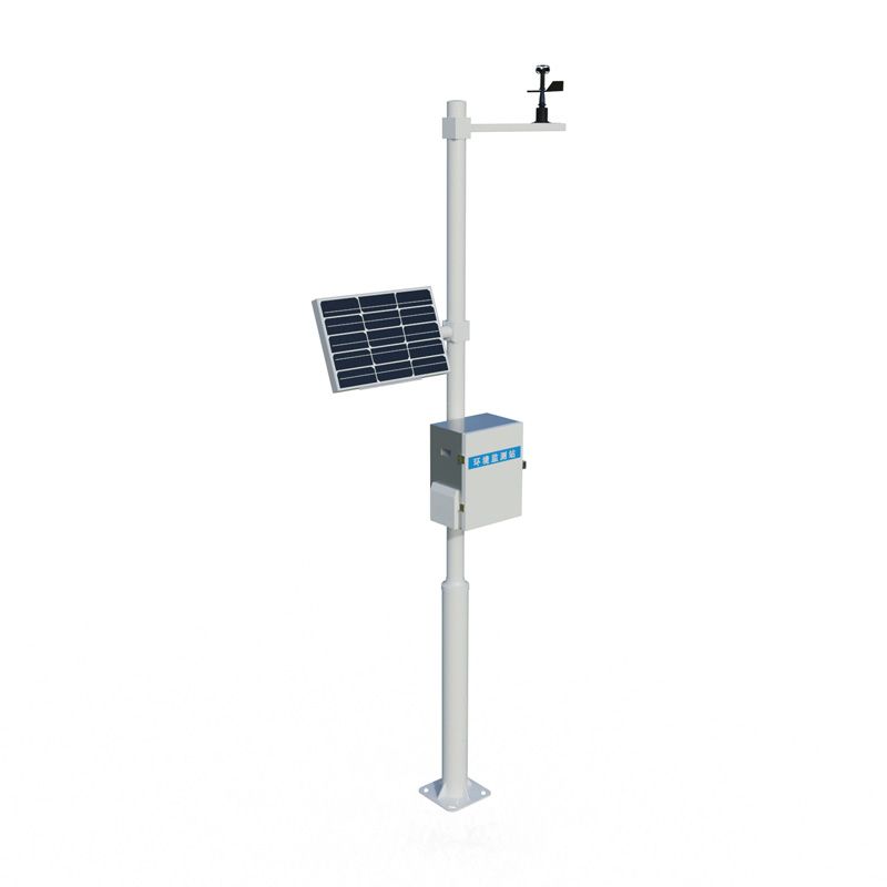
A Portable Weather Station is a device that can be carried around and automatically complete meteorological data collection, mainly used for meteorological monitoring in field, emergency and other scenarios. It integrates the core functions of traditional weather stations in a compact structure, and...


 Skype
Skype
 whatsapp
 mail
mail