Tianyi Sensor IOT Technology Co., Ltd
Sales Manager:Ms. Emily Wang
Cel,Whatsapp,Wechat:+86 15898932201
Email:info@fengtutec.com
Add:No. 155 Optoelectronic Industry Accelerator, Gaoxin District, Weifang, Shandong, China


Sales Manager:Ms. Emily Wang
Cel,Whatsapp,Wechat:+86 15898932201
Email:info@fengtutec.com
Add:No. 155 Optoelectronic Industry Accelerator, Gaoxin District, Weifang, Shandong, China
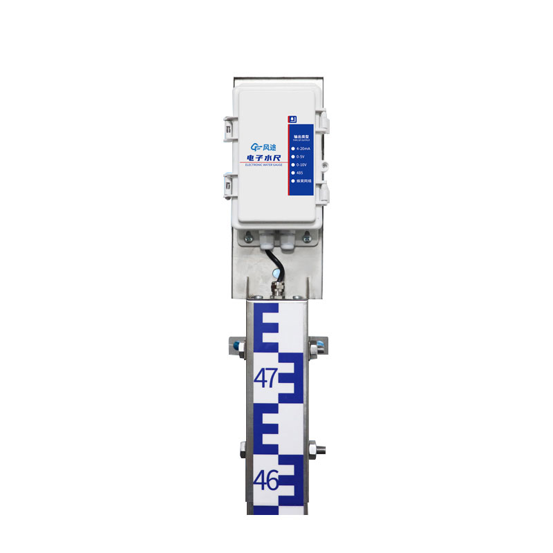
Model:FT-SC24
Brand:tianyi
Water Level Gauge is able to transmit data over the Internet, allowing users to remotely monitor water levels in streams, rivers, and other bodies of water.Water Level Gauge equipment composition: host, water ruler section, collector, power supply system, vertical pole
Water Level Gauge working principle: Using the principle of weak conductivity of water, using advanced processor chips as controllers, water level data is obtained through measurement electrodes, and transmitted through CPU digital encoding, indexing, sampling, and digital processing. Then, wired or wireless communication technology is used to send the water level data to the monitoring center or software, giving full play to the role of real-time monitoring and early warning of water level.
Power supply method: solar power supply, 30W, 20AH
Transmission method: 2G wireless transmission, optional 4G
Installation method: wall-mounted
Equipment accuracy 1cm (full range and other accuracy)
Resolution: 1cm
Unit section specification: 80cm
Measurement length: 80cm*3
Communication interface: RS485 is standard, and can be equipped with 4G, 4-20ma, 0-5v, 0-10v
Parameter configuration: Configuration tool configures specific parameters
Working mode: air height mode, water depth mode, tilt mode
Maximum power consumption: The maximum power consumption of the host is 1W, and the maximum power consumption of the water ruler is 0.05W
Control card: RS485 has a one-way relay output by default, and can be associated with any alarm output or used for water level upper and lower limit control.
Installation punching size: 86.2mm
Installation hole diameter: 10mm
Portable Flow Meter is a velocity and flow rate detection instrument applied to rivers, open channels, pipelines and other working conditions. Utilizing ultrasonic detection technology, it features high measurement accuracy, good stability, little influence from environmental factors, no rotating pa...
Online Automatic Ammonia Nitrogen Monitor is a specialized instrument designed for determining ammonia nitrogen concentrations using the salicylate spectrophotometric method; it can also be customized to utilize the Nessler method. Employing a brand-new photoelectric quantitative technology, t...
Water level warning is an important means of preventing flood disasters and ensuring the rational utilization of water resources. When the water level of rivers and lakes exceeds the safety threshold, it may trigger floods, submerge farmland, destroy houses, and pose a threat to people's lives a...
You may not know that the occurrence and spread of many plant diseases are related to pathogenic spores. Spores are the reproductive units of fungal pathogens, which are tiny in size and numerous in quantity. They can be widely transmitted through media such as wind, rain, and insects. Once spores l...


 Get a Free Quote
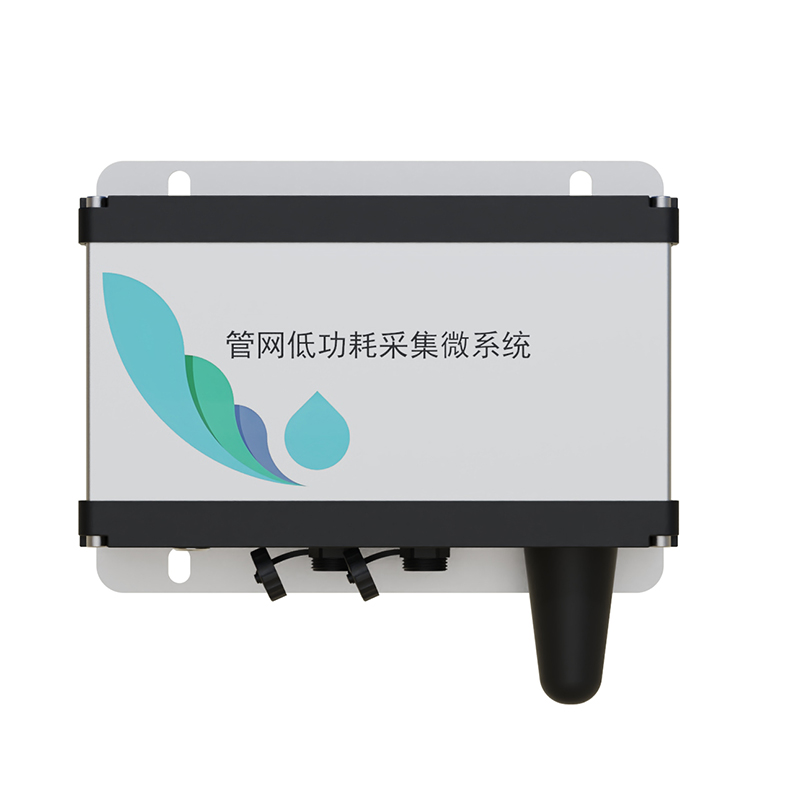

 Skype
Skype
 whatsapp
 mail
mail