Tianyi Sensor IOT Technology Co., Ltd
Sales Manager:Ms. Emily Wang
Cel,Whatsapp,Wechat:+86 15898932201
Email:info@fengtutec.com
Add:No. 155 Optoelectronic Industry Accelerator, Gaoxin District, Weifang, Shandong, China


Sales Manager:Ms. Emily Wang
Cel,Whatsapp,Wechat:+86 15898932201
Email:info@fengtutec.com
Add:No. 155 Optoelectronic Industry Accelerator, Gaoxin District, Weifang, Shandong, China
time:2025-05-09 09:55:38 source:Weather Station viewed:457 time
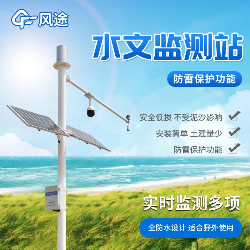
Water level warning is an important means of preventing flood disasters and ensuring the rational utilization of water resources. When the water level of rivers and lakes exceeds the safety threshold, it may trigger floods, submerge farmland, destroy houses, and pose a threat to people's lives and property. An abnormal decline in the water level will also affect shipping, water supply, and ecological balance. Through water level warning, relevant departments can take measures such as flood control and drainage in advance to reduce disaster losses and allocate water resources reasonably.
Traditional water level warning relies on manual inspections and simple monitoring equipment, which is inefficient and has large errors. Modern water level warning systems comprehensively use sensors, communication technologies, and data analysis software to collect water level data in real time and transmit it to the monitoring center. Once the water level reaches the preset warning line, the system will automatically issue an alarm and notify relevant personnel through means such as text messages and broadcasts.
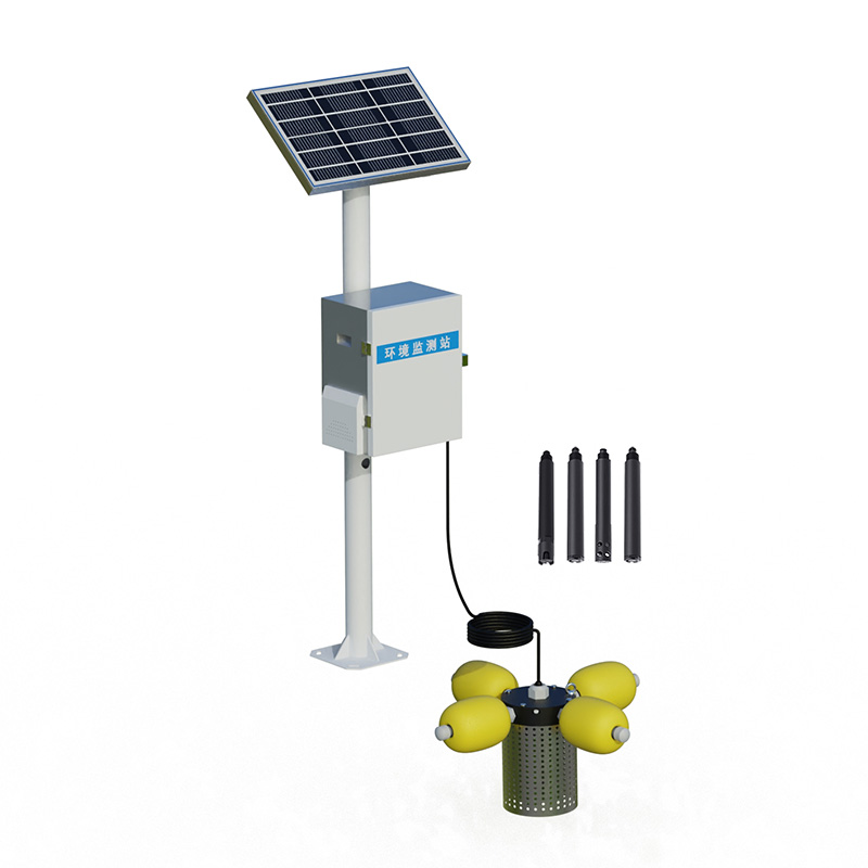
The Water Level Monitoring System has achieved technological breakthroughs on this basis. The system uses the principle of electromagnetic wave reflection, emits electromagnetic waves through radar, receives the reflected echoes from the water surface, and accurately calculates the water level height. It is not affected by external factors such as weather, illumination, and floating objects. It can work stably under adverse conditions such as heavy rain and heavy fog, and it does not need to be in direct contact with the water body, reducing equipment wear and tear and having a low maintenance cost.
The radar water level gauge can be integrated with equipment such as rain gauges and weather stations to achieve comprehensive monitoring of multiple parameters. By combining data such as rainfall and temperature, it can more accurately predict the changing trend of the water level, providing a scientific basis for flood forecasting and water resource management. It has strong adaptability and is suitable for different scenarios such as rivers, lakes, and reservoirs, providing powerful technical support for the safe operation of water conservancy projects and disaster prevention and mitigation.
Weighing Rain Gauge converts precipitation weight into water depth with an accuracy of 0.1mm, suitable for rain, snow, and mixed precipitation. The equipment features independent internal and external grounding, a stainless steel protective casing to resist wind disturbance, eliminating the ne...
With the advancement of environmental science research toward refinement, traditional large-scale air monitoring stations suffer from low distribution density and limited coverage, making it difficult to capture air quality differences in small-scale areas such as urban functional zones and around p...
When camping in the wild, the weather conditions are crucial to the camping experience. The Handheld Weather meter can really show its prowess at this time, helping us to understand weather changes in advance and make preparations accordingly.After we arrive at the camping site, we first take...
In the field of meteorological monitoring, TianYi has launched a series of Handheld Weather Stations, among which the FT-SQ5 model has attracted much attention. It integrates the monitoring functions of multiple key meteorological elements. With high-precision sensors and intelligent chips, it can a...


 Skype
Skype
 whatsapp
 mail
mail