Tianyi Sensor IOT Technology Co., Ltd
Sales Manager:Ms. Emily Wang
Cel,Whatsapp,Wechat:+86 15898932201
Email:info@fengtutec.com
Add:No. 155 Optoelectronic Industry Accelerator, Gaoxin District, Weifang, Shandong, China


Sales Manager:Ms. Emily Wang
Cel,Whatsapp,Wechat:+86 15898932201
Email:info@fengtutec.com
Add:No. 155 Optoelectronic Industry Accelerator, Gaoxin District, Weifang, Shandong, China
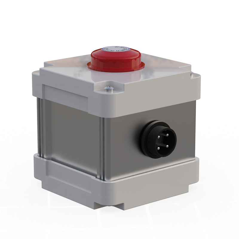
Model:FT-FS3
Brand:tianyi
Photosynthetically active radiometer product introduction
Photosynthetically active radiometer is used to monitor the visible light part, providing highly accurate measurement of photosynthetic radiation (400~700nm).
Photosynthetically active radiometer technical indicators
Power supply: DC12V
Power consumption: 0.036W
Working environment: -20~65℃
Communication interface: RS485
Operating current: 3mA@DC12V
Minimum data interval: 0.5S
Photosynthetically active radiometer sensor parameters
| parameter | scope | Resolution | Accuracy | unit |
| Photosynthetic effective radiation | 0-2000 | 1 | <±3% | W/m² |
Response time: ≤10S
Annual stability: ≤±3%
Zero point drift: ≤10 W/m²
Measurement spectrum: 400~700nm
Have you ever wondered why the air feels especially fresh near forests and waterfalls? This is due to the difference in negative oxygen ion content in the air. Now, TianYi's FT-FY1 Negative Ion Detector makes this "freshness" measurable and quantifiable, providing accurate data support...
Why Does Wind Power Generation Easily Encounter Icing Issues?First, wind farms are mostly located in areas with abundant wind resources such as mountains and coastal regions, where harsh climatic conditions (high humidity, low temperatures) easily lead to weather phenomena like clouds, fog, and free...
Global Navigation Satellite System (GNSS) is an autonomous, worldwide space-based positioning system. These systems continuously broadcast radio navigation signals to the ground through satellite constellations, providing users with positioning, navigation, and timing services.01 GNSS Technica...
The Landslide Early Warning and Monitoring System employs GNSS and Differential RTK technologies to acquire surface displacement data with millimeter-level precision. By integrating data such as displacement and rainfall, the system automatically issues early warning alerts without the need fo...


 Get a Free Quote
 Skype
Skype
 whatsapp
 mail
mail