Tianyi Sensor IOT Technology Co., Ltd
Sales Manager:Ms. Emily Wang
Cel,Whatsapp,Wechat:+86 15898932201
Email:info@fengtutec.com
Add:No. 155 Optoelectronic Industry Accelerator, Gaoxin District, Weifang, Shandong, China


Sales Manager:Ms. Emily Wang
Cel,Whatsapp,Wechat:+86 15898932201
Email:info@fengtutec.com
Add:No. 155 Optoelectronic Industry Accelerator, Gaoxin District, Weifang, Shandong, China
time:2025-11-10 09:10:49 source:Weather Station viewed:454 time
Global Navigation Satellite System (GNSS) is an autonomous, worldwide space-based positioning system. These systems continuously broadcast radio navigation signals to the ground through satellite constellations, providing users with positioning, navigation, and timing services.
01 GNSS Technical Principles
GNSS positioning is based on the principle of trilateration: the receiver calculates its distance from the satellites by measuring the signal transmission time from multiple satellites. To determine the user's three-dimensional position and clock offset, signals from at least four satellites must be received simultaneously.
GNSS signals consist of three basic components: navigation data, pseudorandom noise (PRN) code, and radio frequency carrier. The receiver uses these signals to measure pseudorange and achieves higher-precision positioning through carrier phase measurements.
The main error sources affecting GNSS accuracy include:
Satellite-related errors: clock bias and orbital errors
Atmospheric delays: ionospheric and tropospheric delay effects on signals
Receiver errors: internal clock bias and hardware defects
Through differential positioning techniques such as Real-Time Kinematic (RTK), these errors can be significantly eliminated, improving positioning accuracy from the meter level to the centimeter or even millimeter level.
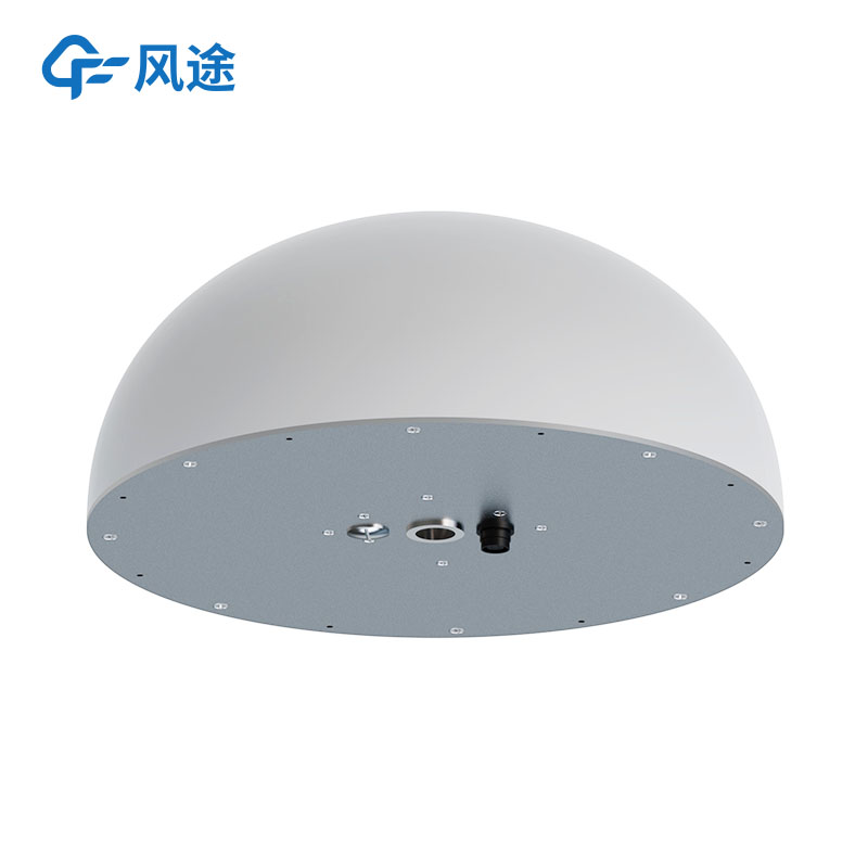
02 Features and Applications of Fengtu® GNSS Receivers
Fengtu® GNSS Receivers are highly integrated, all-in-one devices that combine a GNSS module, sensor module, and wireless transmission module. The device supports multi-system, multi-frequency signal reception, including the four major global navigation systems: BeiDou, GPS, GLONASS, and Galileo.
Technical Parameters:
Static accuracy: horizontal ±2.5mm ±1ppm, vertical ±5mm ±1ppm
Designed with a choke ring antenna to effectively suppress multipath effects
Power consumption below 2W, suitable for long-term field monitoring
Supports multiple communication methods: 4G/NB-IoT, LORA radio, etc.
Built-in tilt sensor to detect the tilt state of the carrier
Application Areas:
Fengtu® GNSS Receivers are specifically designed for geological hazard monitoring and are widely used in displacement monitoring for field landslides, collapses, mining-related geological hazards, reservoir dams, and highway slopes. The device can accurately monitor minute displacement changes of target objects in complex environments, providing strong support for engineering safety.
With its high-precision positioning technology and real-time data transmission capabilities, the receiver achieves millimeter-level displacement monitoring, offering users reliable safety warnings and data analysis support.
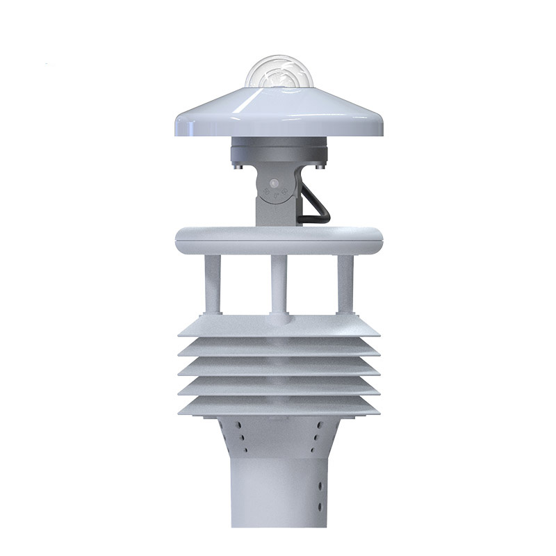
Before the advent of ultrasonic anemometers, traditional wind speed and direction measurements mainly relied on mechanical sensors.Cup anemometers calculate wind speed through wind force pushing three or four hemispherical cups to rotate, with rotational speed proportional to wind speed.Wind vanes,...
The Wind Sensor employs the time-of-flight measurement principle, accurately calculating wind speed and direction by detecting changes in the speed of ultrasonic waves propagating in the air....
The FT-SQ6 electronic weather station is a professional meteorological measurement tool that integrates portability, accuracy, and durability, and it is also a reliable piece of equipment in the field of special firefighting. Its compact design and lightweight body make portability its main advantag...
The Single Rain Gauge Monitoring Station consists of a stainless steel rain sensor, a data collector, a solar power supply system, and a pole-mounted bracket. It wirelessly transmits rainfall data to a remote monitoring platform, supporting statistical analysis—such as daily and monthly rainf...


 Skype
Skype
 whatsapp
 mail
mail